
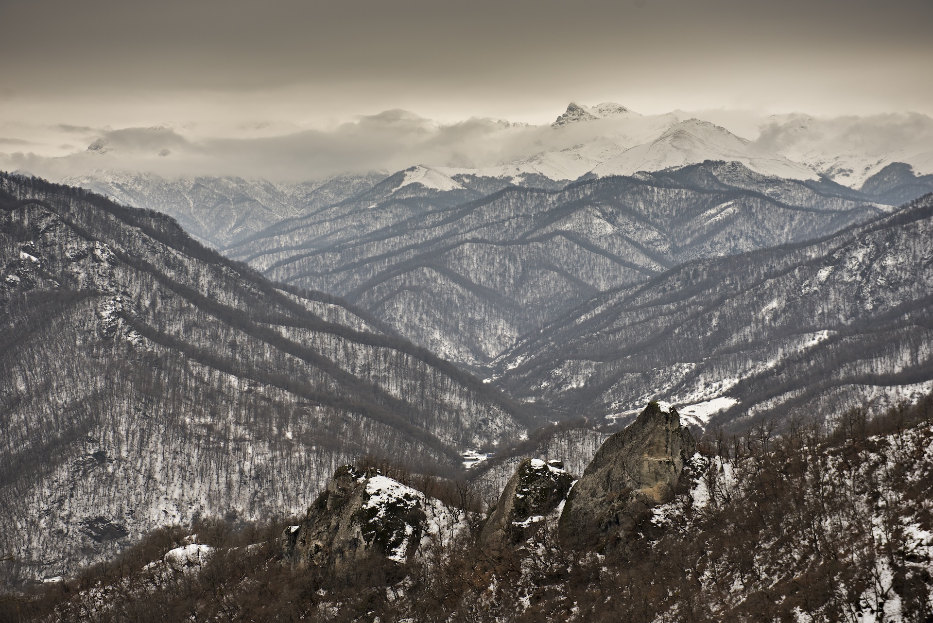
This endless succession of mountains is characteristic of the western part of Nagorno-Karabakh, an extension of the Armenian Highlands.
As the region’s name suggests, the altitude of this compact massif is generally high, with an average of 1,100 meters and four peaks higher than 3,000 meters. The area is roughly equivalent to that of a small French department, such as Haute-Savoie. Despite its small size on the scale of the Caucasus, this region enjoys a major advantage—its water resources. The snow covering the peaks in winter and the slopes crisscrossed by rivers make it a true water tower. Combined with the fertility of the partly volcanic soil, this natural wealth has allowed the development of prosperous agriculture on the plateaus and in the valleys, where cereal crops, as well as fruits and vegetables, thrive in the temperate continental climate. In fact, the word “Karabakh” includes the Persian term *bagh*, meaning “garden.”
The mountainous terrain also presents significant accessibility challenges. Before the second war in 2020, only two roads connected Nagorno-Karabakh, landlocked within Azerbaijani territory, to Armenia. While isolation hampers trade, it also offers certain advantages. Throughout history, this natural fortress has served as a refuge for populations facing invasions. On several occasions, the region has enjoyed a degree of autonomy from central authorities. Under such conditions, a mindset blending determination, aspirations for independence, and a deep attachment to the land has taken shape over time. A striking symbol of this unbreakable bond between the expelled inhabitants in 2023 and their homeland is the monumental sculpture near Stepanakert, which also features on Nagorno-Karabakh’s coat of arms. It is aptly named “We Are Our Mountains.”